Login
Register


SNBS
Balsas Airport
VFR Chart of SNBS
Sectional Charts at SkyVector.com
IFR Chart of SNBS
Enroute Charts at SkyVector.com
Location Information for SNBS
Coordinates: S7°31.52' / W46°3.20'View all Airports in Maranhão, Brazil.
Elevation is 932.0 feet MSL.
Operations Data
|
|
Nearby Navigation Aids
|
| ||||||||||||
Runway
| Surface: | Hard | |
|---|---|---|
Nearby Airports with Instrument Procedures
| ID | Name | Heading / Distance | ||
|---|---|---|---|---|
 |
SBCI | Brig. Lysias Augusto Rodrigues Airport | 278° | 84.7 |
|
SBIZ | Prefeito Renato Moreira Airport | 324° | 145.7 |
Airport Images
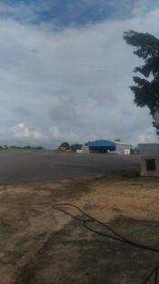
By: Cosme dos Santos


